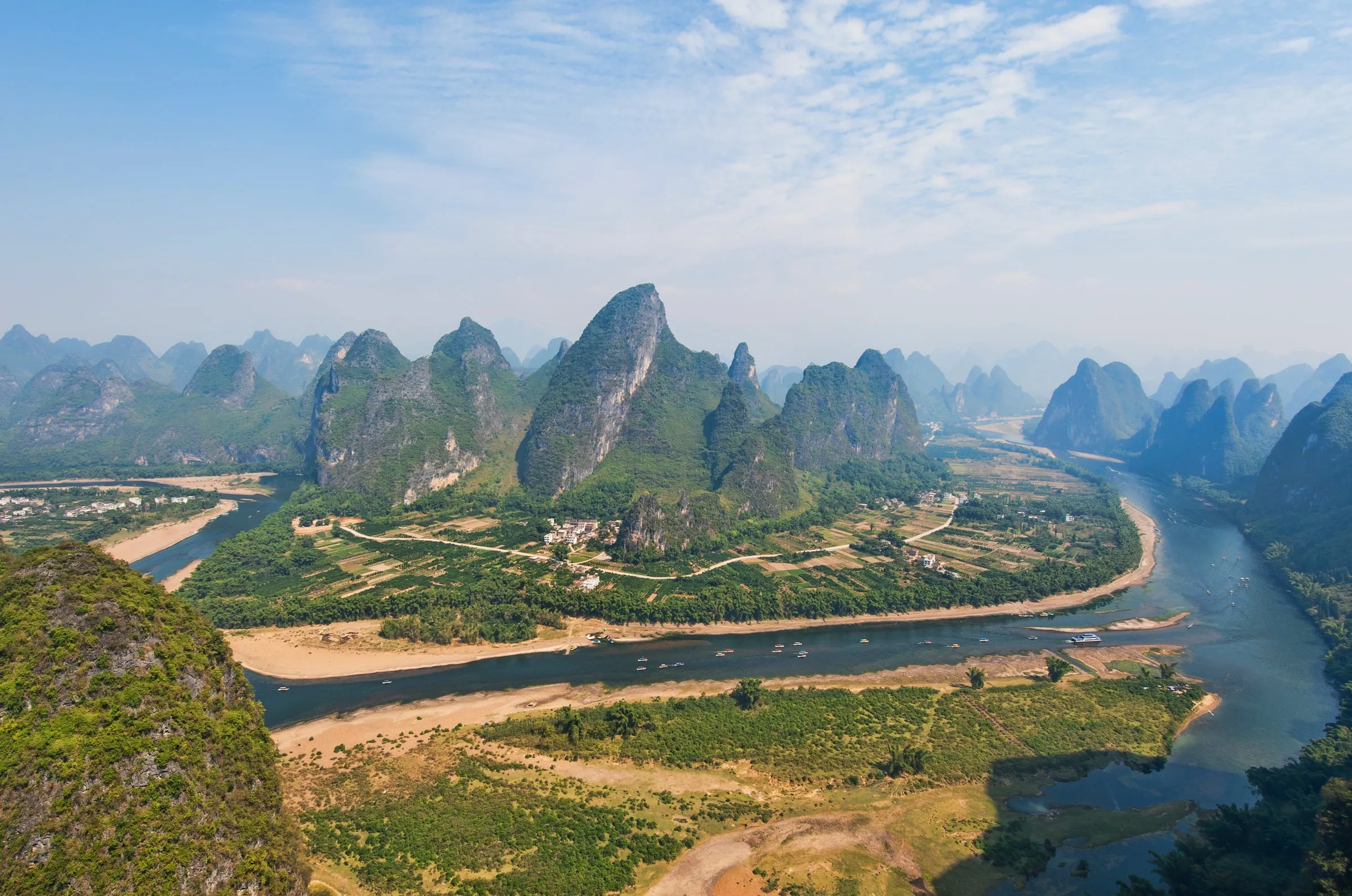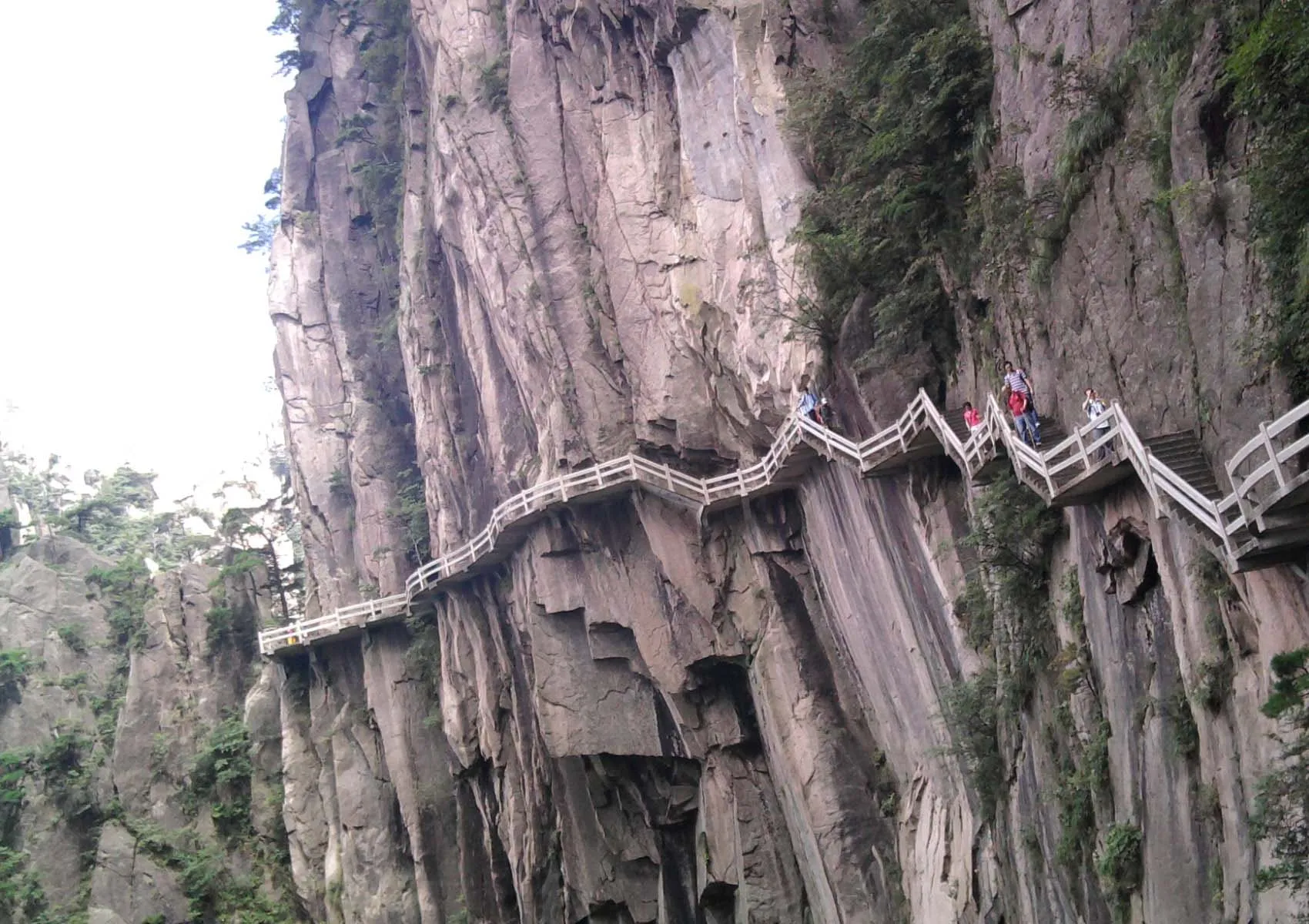
A day on Huangshan should be built from the paths that are open, not from the most dramatic photograph in your saved folder. The mountain’s peaks, pines and granite faces offer many possible views, but a satisfying route also needs an achievable return.
Start with the current scenic-area map, operating notices and the abilities of everyone walking. This is a method for choosing a day route, not a fixed circuit or a promise that a named peak is accessible throughout the year.
Decide how you will come down
Before selecting the first viewpoint, identify the planned descent and any transport it depends on. Check operating times, weather restrictions and the distance from the last walking section to the departure point. A cableway ticket does not remove the need to walk between places on the mountain.
Choose one main area rather than attempting to connect every famous name. Ask staff about current closures and the route’s steps, exposure and alternatives. If the return depends on hurrying, shorten the plan before starting.
Make the stairs part of the estimate
Distance alone tells you little about how a mountain day will feel. Repeated climbing and descending, waiting at narrow sections and stopping to rest all affect the pace. Use an estimate appropriate to your party rather than a time posted by someone walking faster with less luggage.
Carry only what you need for the confirmed day and forecast, but do not rely on a shop appearing exactly when you need it. If food, water or another service is essential, establish its availability in advance.
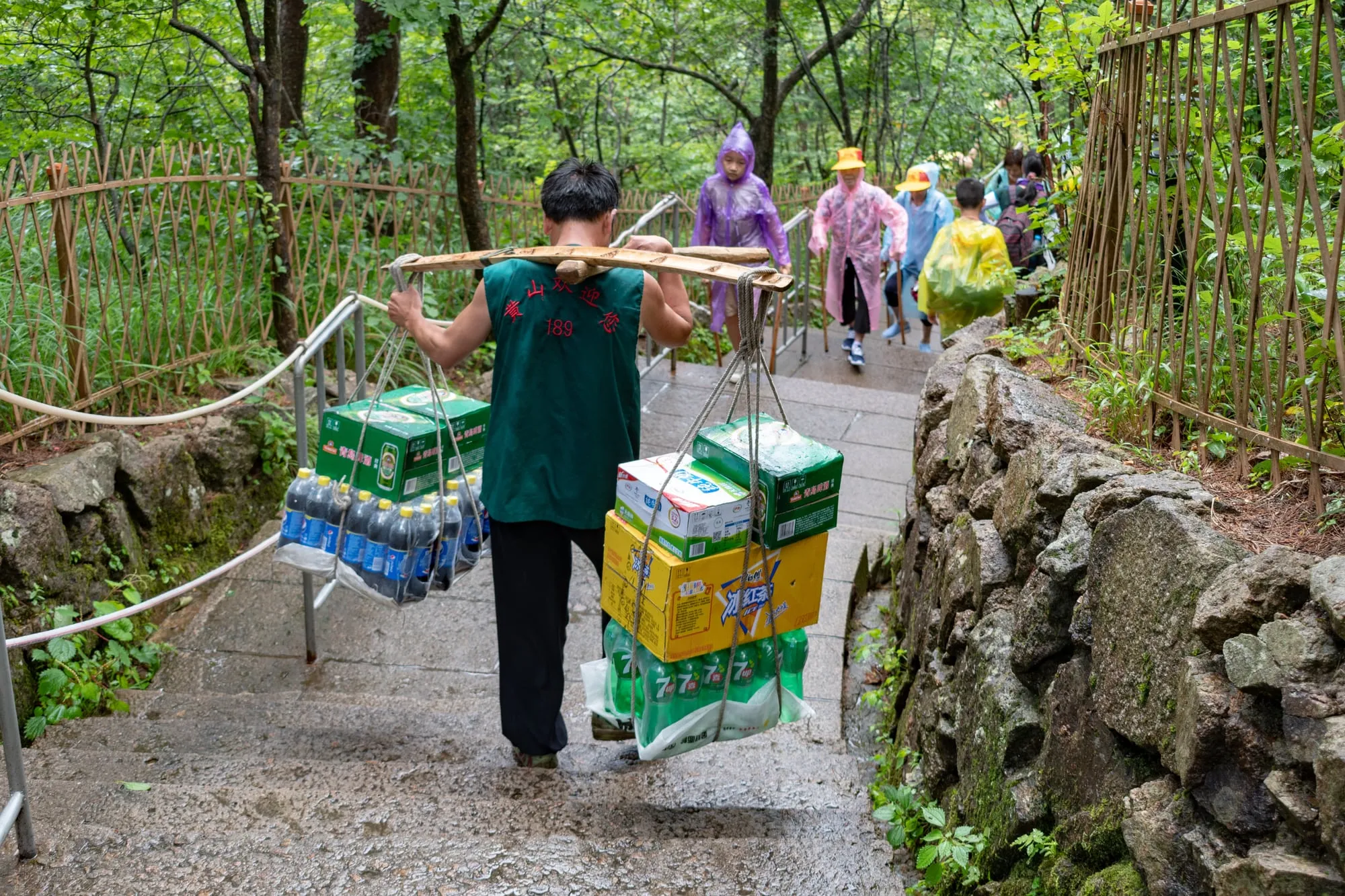
A porter on Huangshan’s steps, July 2017. xiquinhosilva · Wikimedia Commons · CC BY 2.0. Resized and compressed.
Look for a sequence, not a summit collection
Choose a few different scales of view: a broad ridge, a close rock surface, a pine against open sky. Pause where doing so does not obstruct the path. A small number of considered stops can make the landscape more memorable than a continuous effort to reach the next sign.
Keep to permitted areas and follow barriers. A viewpoint closed for maintenance or conservation is not an invitation to find an unofficial approach. Photography should fit the walking route, not dictate a risky position beyond it.
Keep a shorter version ready
Cloud may hide the distant view while leaving close details worth seeing. Rain, wind or a closure may require a much larger change. Decide in advance which section can be omitted and how that changes the descent.
If conditions make the mountain unsuitable, use the day elsewhere and return when the route is workable. The purpose of planning is to make that choice possible, not to create pressure to complete a circuit because it is written down.
Planning source
Mount Huangshan, UNESCO provides the landscape context. Current trail and cableway notices must come from the scenic-area operator before travel. Check the intended route for your travel date rather than treating an old map as an opening notice.
Image credits
- Cover: Blbrk · Wikimedia Commons · Public domain. Resized and compressed.